
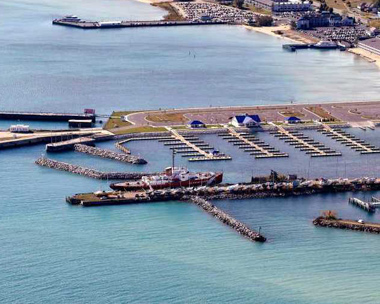
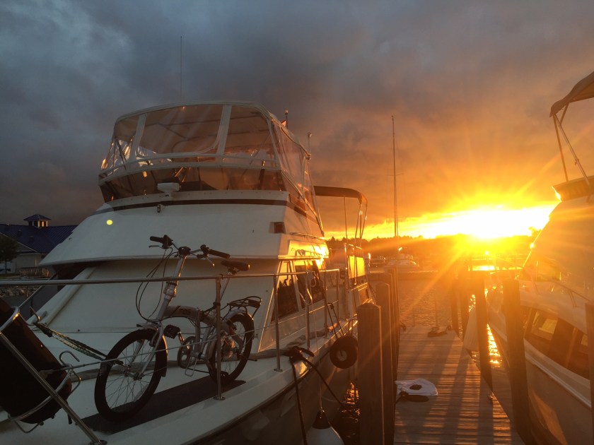
Leaving Drummond Island was beautiful, the air was slightly chilly and sky overcast. The Cocomo Bayflower and Pura Vida all had the same destination today. We left De Tour Passage which lead us into Lake Huron. We cruised right through The Straights of Mackinac, its amazing how tall Mackinac island is you can literally start to see it 20 miles away. After passing between Mackinac Island and Round Island, we headed south-west and arrived in Mackinaw City. I am staying at Straights State Harbor phone # 231-436-5326. This is a good marina. Plenty of room great docks lots of parking, great staff, new facility, laundry and shower, fuel and pump-out. The Internet is lacking but who needs internet lol (me so I can write these blogs). There is a huge USCG Ice Breaker that is retired sitting right at the entrance you can see below. they use these ships to keep a path cut through the straits during winter for the cargo ships to make passage. This ice breaker works with sheer weight to break the ice, the bow rides up on the solid ice and once the ice can’t hold the weight it breaks through leaving a somewhat clear path. It’s hard to believe that every year the lake freezes between Mackinaw city and Mackinac island which allows people and animals to walk across to the island! After christmas they take the old christmas trees and bore a hole for the base and put a line of them across the lake making a path to and from the mainland. This is over a 6.5 mile walk!


Restaurant, Pier M33 On The Cheboygan. Great food and atmosphere (below)

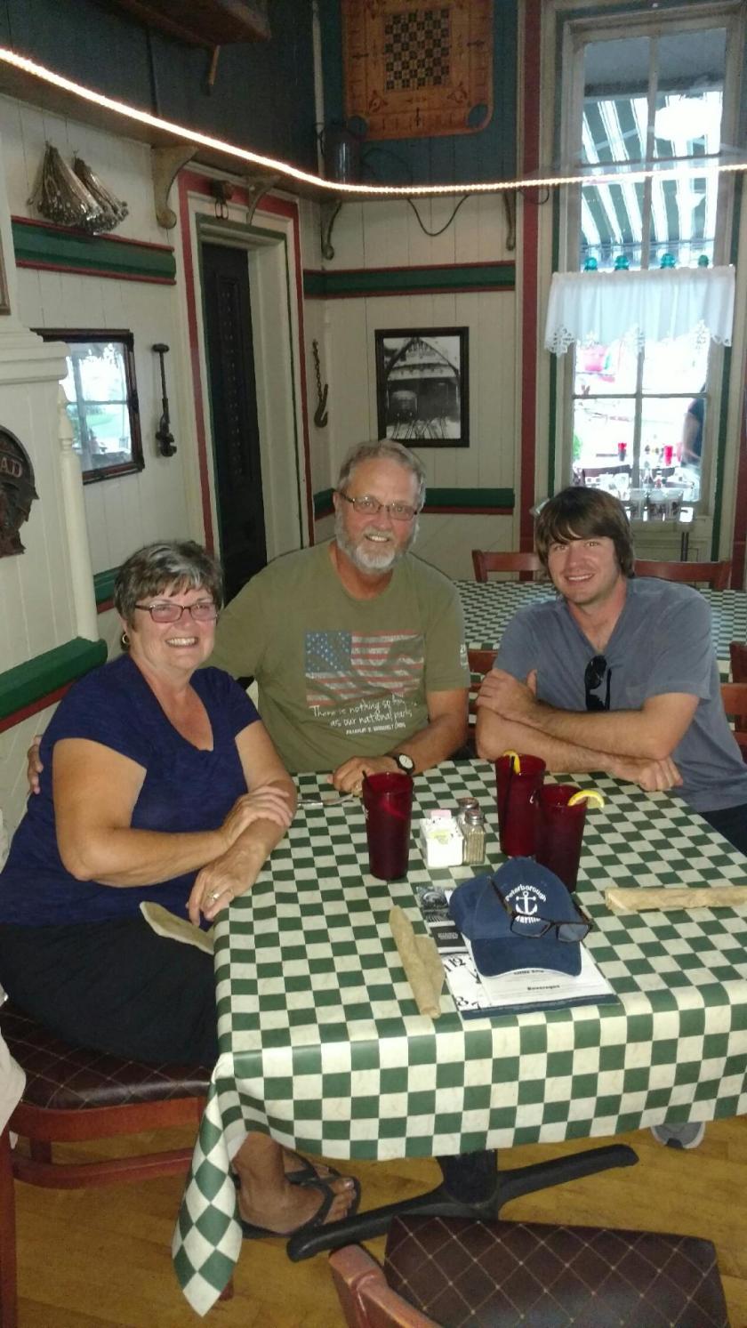
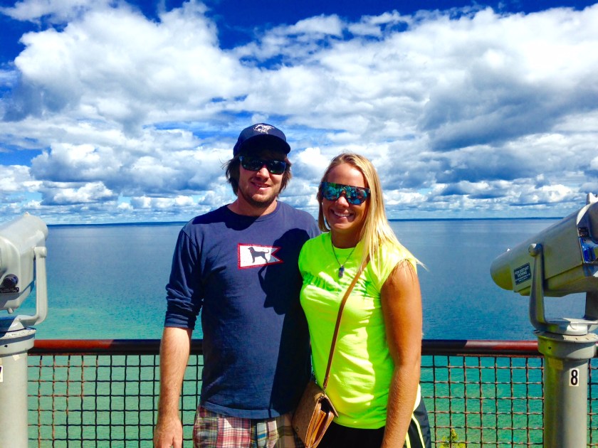
My dad and I had a great dinner with Wayne and Vicki from Cocomo
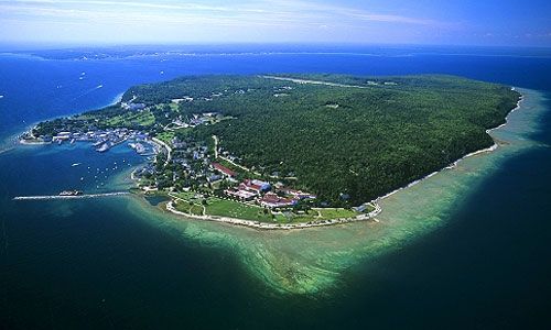
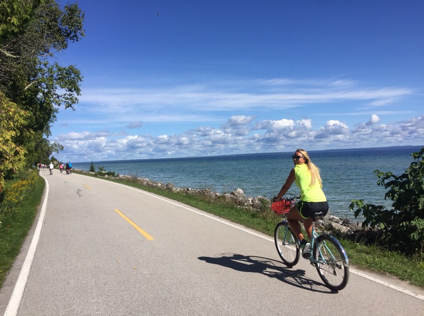
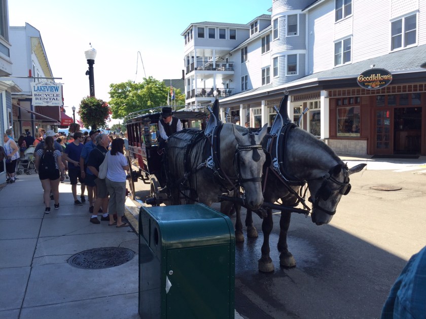
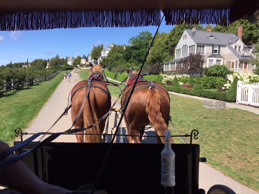
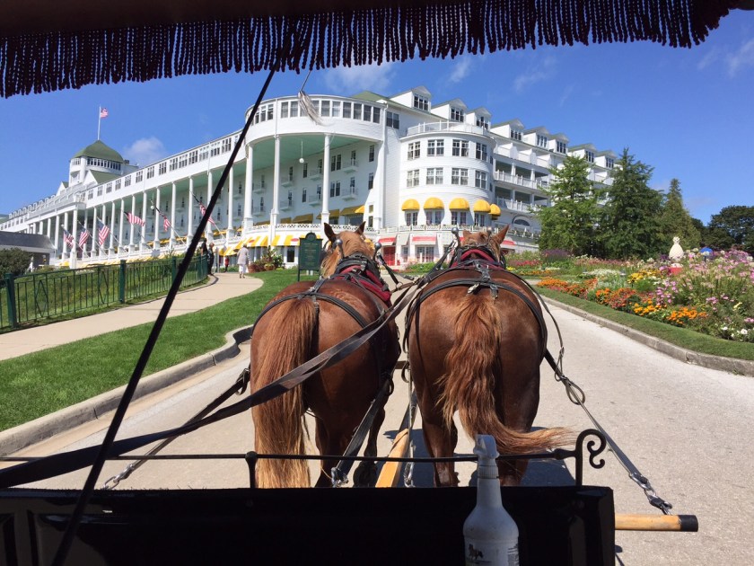
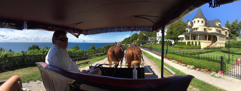
Mackinac Island, is an island covering 3.8 square miles in land area. It is located in Lake Huron, at the eastern end of the Straights of Mackinac, between the state’s Upper and lower peninsulas. Motorized vehicles have been prohibited on the island since 1898, with the exception of snowmobiles during winter and emergency vehicles. Travel on the island is either by foot, bicycle, or horse-drawn carriage. Bicycles, roller blades, carriages, and saddle horses are available for rent. My sister and I did the 8-mile road that follows the island’s perimeter which runs along the shoreline. The island was home to an Odawa Indian settlement before European exploration began in the 17th century. It was the center of commerce for the Great Lakes Fur Trade. This led to the establishment of Fort Mackinac on the island by the British during the American Revolutionary War. The entire island is listed as a National Historic Landmark.
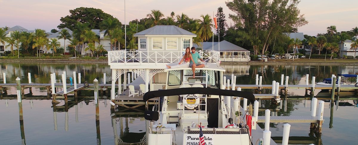
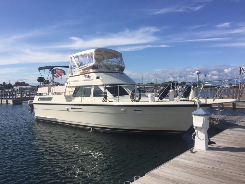
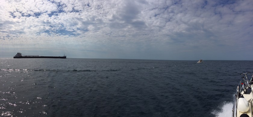
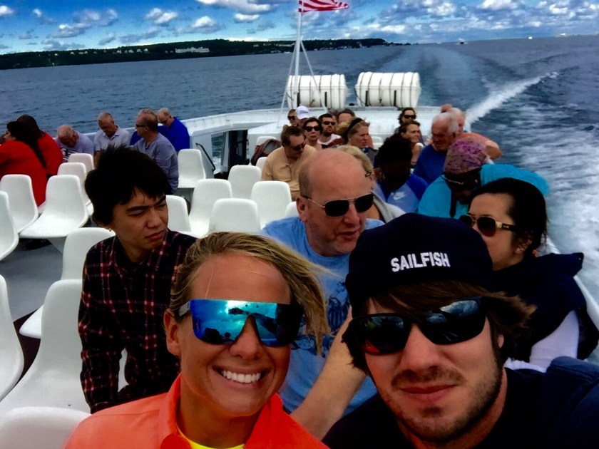
Going through the Straits in Pura Vida


Thank you so much for sharing this adventure with me. It is truly a life experience.
LikeLiked by 1 person